5,500 ft
28miles east
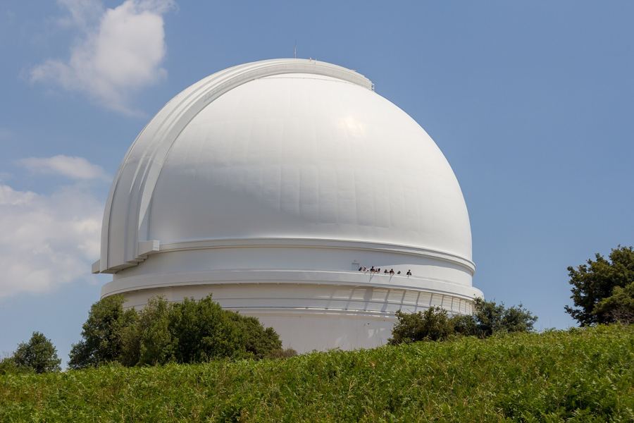
Palomar Mountain
Conifer forest, meadows and a famous observatory dome on the county's northern ridge.
The white dome on Palomar MountainDoane Pond and the conifer forest on PalomarTurn your back on the ocean. East of San Diego the land climbs through oak and pine to 6,000 feet, then drops to the Anza-Borrego desert. Here are its places, west to east: the farther down the page, the sooner the sun reaches them.
Miles inland as the crow flies, from the coast at the same latitude.
Conifer forest, meadows and a famous observatory dome on the county's northern ridge.
The white dome on Palomar MountainDoane Pond and the conifer forest on Palomar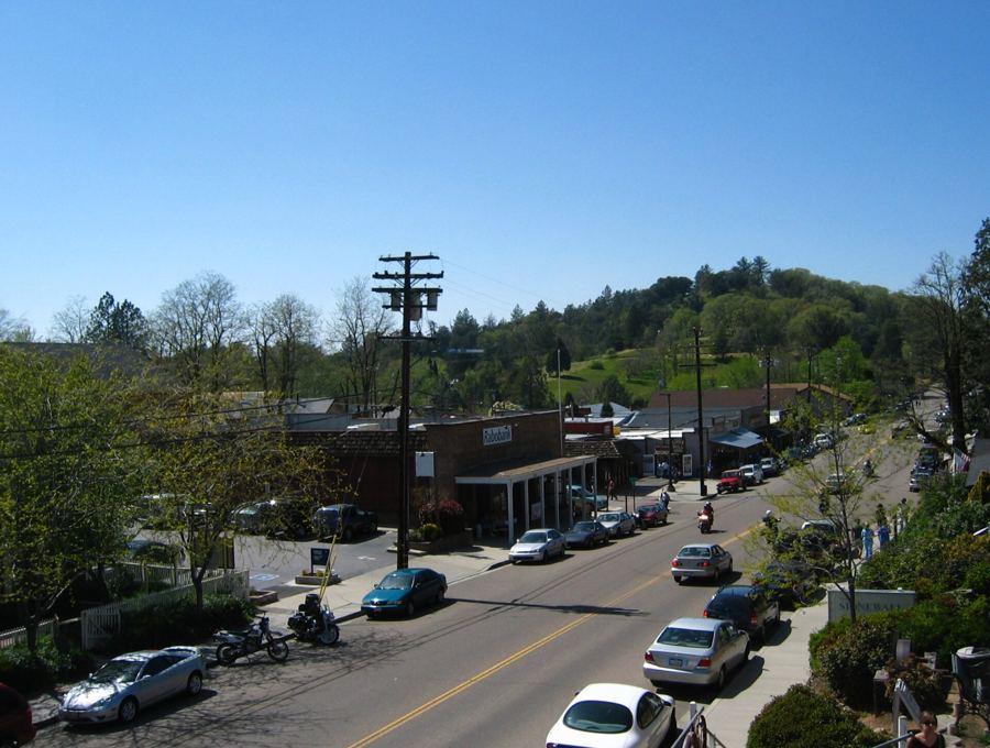
An 1870s gold-rush town in the apple country, with a main street of old timber fronts.
Gold, granite and a mountain Main StreetWhen the orchards turn red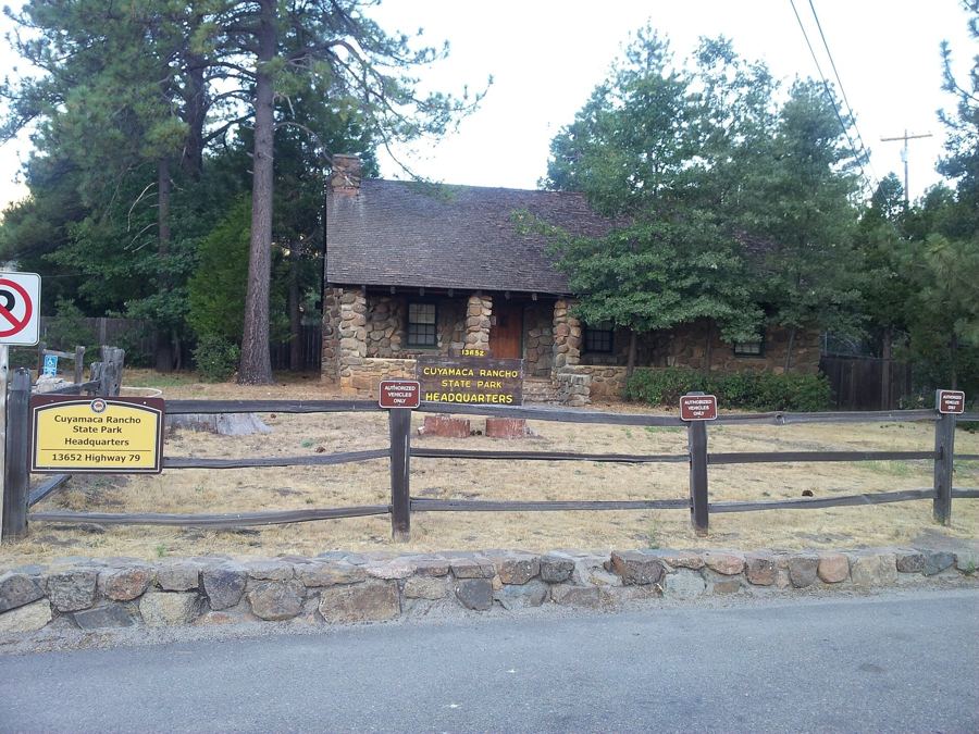
Oak woodland and meadows growing back after the 2003 fire, with the county's second-highest summit.
Up Cuyamaca Peak for a view to the sea and the desertStonewall Peak at first light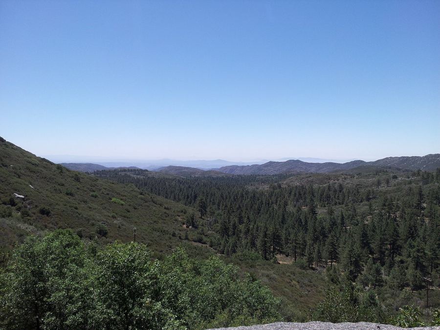
Jeffrey pines on the edge of a 4,000-foot drop to the desert floor. Winter can bring snow.
The Desert View trail along the escarpmentDriving the Sunrise Highway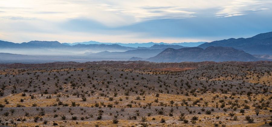
A small desert town inside California's largest state park, and an official dark-sky community.
Palm Canyon and its desert fan palmsDark nights in Borrego Springs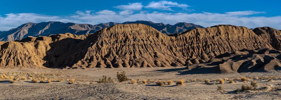
The overlook above the Borrego Badlands, where the sunrise finally reaches the county's east.
First light on the badlands from Font's PointSideways through The SlotTwo climates in one hour’s drive: mountain seasons above 4,000 feet, desert seasons below. How the two halves differ.